27 km | 34 km-effort
aubrac_j2
yt34
User
Length
50 km
Max alt
1252 m
Uphill gradient
780 m
Km-Effort
60 km
Min alt
1082 m
Downhill gradient
779 m
Boucle
Yes
Creation date :
2024-04-18 07:09:50.493
Updated on :
2024-04-18 12:54:41.326
3h12
Difficulty : Medium
FREE GPS app for hiking
About
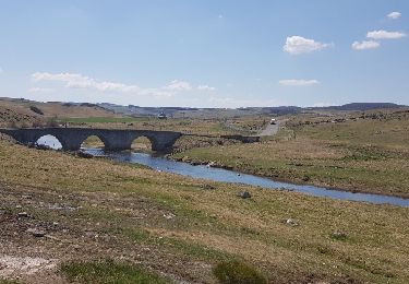
Trail Mountain bike of 50 km to be discovered at Occitania, Lozère, Peyre en Aubrac. This trail is proposed by yt34.
Positioning
Country:
France
Region :
Occitania
Department/Province :
Lozère
Municipality :
Peyre en Aubrac
Location:
La Chaze-de-Peyre
Start:(Dec)
Start:(UTM)
519119 ; 4951836 (31T) N.
Comments
Trails nearby
Aumont Aubrac Nasbinal Avril 2018
Walking
Difficult
Peyre en Aubrac,
Occitania,
Lozère,
France
7h 54min
No
Compostelle Aumont-Nasbinals
Walking
Difficult
(1)
Peyre en Aubrac,
Occitania,
Lozère,
France
28 km | 36 km-effort
7h 37min
No
Lasbros
Walking
Very easy
Peyre en Aubrac,
Occitania,
Lozère,
France
9.7 km | 12.2 km-effort
2h 7min
Yes
Étape 1 Saint Gilhem
Walking
Very difficult
Peyre en Aubrac,
Occitania,
Lozère,
France
17.1 km | 21 km-effort
4h 48min
No
Mon chemin de St Guilhem étape 1
Walking
Medium
Peyre en Aubrac,
Occitania,
Lozère,
France
17.2 km | 21 km-effort
4h 12min
No
les moulins?
Walking
Difficult
Peyre en Aubrac,
Occitania,
Lozère,
France
12.4 km | 16.3 km-effort
3h 30min
Yes
le rocher du Cher
Walking
Difficult
Peyre en Aubrac,
Occitania,
Lozère,
France
9.8 km | 12.5 km-effort
3h 31min
Yes
Chemin de St Guilhem - Variante N° 03
Walking
Very difficult
Peyre en Aubrac,
Occitania,
Lozère,
France
247 km | 348 km-effort
72h 48min
No
Chemin de St Guilhem - Variante N° 02
Walking
Very difficult
Peyre en Aubrac,
Occitania,
Lozère,
France
242 km | 347 km-effort
72h 18min
No